From Lorton, in northern Virginia, we drove south to Jamestown, for a little
history.,
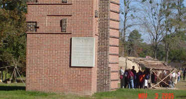 |
Jamestown Settlement. This is a recreation/museum, several miles from
original settlement site.
Here's a memorial to the settlers... Behind it is the "living
museum", of an Indian village.
|
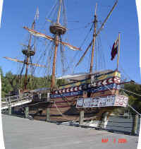
| Replica of one of the three original ships which sailed to Jamestown
from England in 1607. |
 |
 |
At the *real* settlement, was a National Historic Park... We drove
through the nature areas.
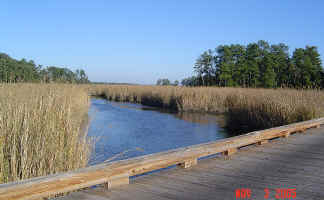
Margie spotted an otter in this stream.
|
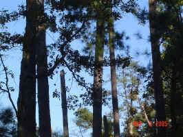
| And the first red-headed woodpecker of our trip. Can you see it? |
 |
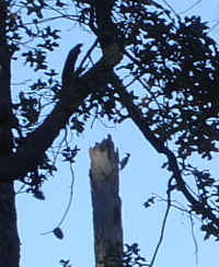 |
Here! |
| Our campsite, just across the street from the Jamestown Settlement. |
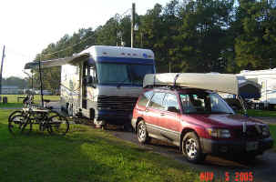 |
| |
|
| From Jamestown, we drove south, not too much further... to the Great
Dismal Swamp. Such a lovely sounding name! |
The Great Dismal
|
|
The Great Dismal Swamp borders North Carolina and Virginia, not
far inland from the ocean. The swamp used to encompass over 2000 square
miles, but draining in the past couple of centuries has reduced it to 600.
|
We're staying in Chesapeake, along the eastern border of the
present swamp. In fact, we can cross the street and put the canoe into the
Great Dismal Canal, a portion of the Atlantic Intracoastal Waterway.
|
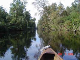 |
The Atlantic Intracoastal Waterway is along Rt 17, and forms the eastern
boundry of the Great Dismal Swamp NWR. A series of canals, cross the
swamp, and this is just part of it. In the late 1700, the goal was
to drain the swamp for timber and farming. The entire swamp was
cleared of timber. The canals were all hand dug by slaves! |
| We canoed in one canal, into the interior. This is the
"Feeder Ditch". Here we are at the Corp of Engineers
campsite near the end of the ditch, and near Lake Drumond, in the center
of the swamp. |
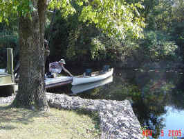 |
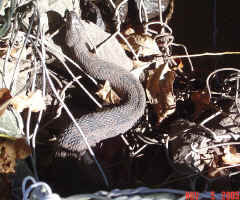 |
Cottonmouth!
No. That's what we thought... This is a Brown Water Snake...
Apparently often mistaken for a venomous snake, due to the shape of its
head.
|
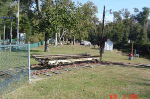
| This is the trolley provided by the Corp of Engineers for boaters to
move their canoe across the dam, on their way to lake Dromond.
|
 |
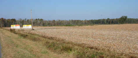 |
Driving from the east to the west side of the Great Dismal, we saw our
first cotton fields... Here the cotton has just been harvested, and is
temporarily stored under the colored tarps. |
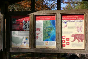
| You remember Charles Kuralt? Popular news personality on CBS (or
was it NBC?). He's from North Carolina. They've developed a
trail of natural areas in his honor... we visited many of the sites,
including, first The Great Dismal Swamp. |
 |
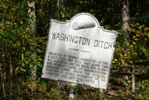 |
On the west side of the swamp is the area where George Washington played
a major role. He was co-owner of the company trying to drain the
swamp, and designed much of the canal system. This canal, on the
west side, honor his name.
Oh... The sign is crooked... not my photo!
|
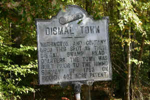
| Nearby is Dismal Town, where many of the workers and slaves building the
canal lived. There's not much left, except some scattered bricks. |
 |
 |
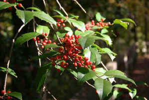
Holly along the canal. |
| You may recall this photo from our Christmas card. |
 |
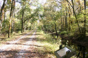 |
Road along the Washington Ditch. We bicycled to Lake Drumond. |
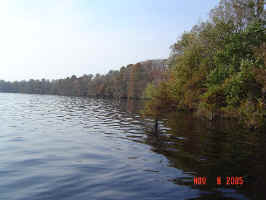
| Lake Drumond! |
 |
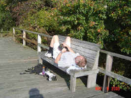 |
Steve, after bicycling to Lake Drumond.
Oh STEVE! You still have to bike back!!
|
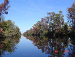
| More along the Intracoastal Waterway. So lovely. And this is the
horrible "Great Dismal"?
:-)
|
 |
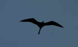 |
At our campsite one evening, we were very surprised to see this
bird.
A Frigate Bird!
He belongs out a sea... and we're 20 miles inland!
|
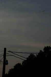
| Again, barely visible in the evening sky. |
 |
Thus ends our journey through Virgina.

